The MD's Mapping & Geographics department is responsible for maintaining the region's Geographic Information System (GIS) (a computerized mapping system). The GIS team is responsible for producing and distributing maps and mapped data sets, as well as assigning addresses and approving street names.
Visit the public information counter at the MD's main administration office in Slave Lake to request current land information maintained by the MD, including hard copy versions of municipal maps. Maps and data about property, floodplains, soils, topography, zoning, streets, addresses, and other topics are available through this public service.
Trails and Points of Interest
MAP OF THE MD
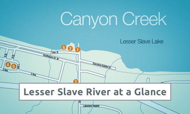
Find Your Bearings in Lesser Slave
Get to know the region and its many wonders. Download this graphic map showing key routes and destinations in Slave Lake and surrounding communities.
Purchasing MD Maps in Hard Copy Format
Current hard copy municipal maps are available for purchase from the main Administration office in Slave Lake. Nominal charges apply.